


.jpg)


Hikes in the Santa Monica Mountains
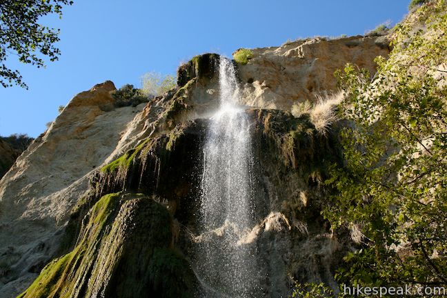
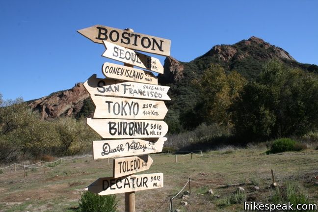
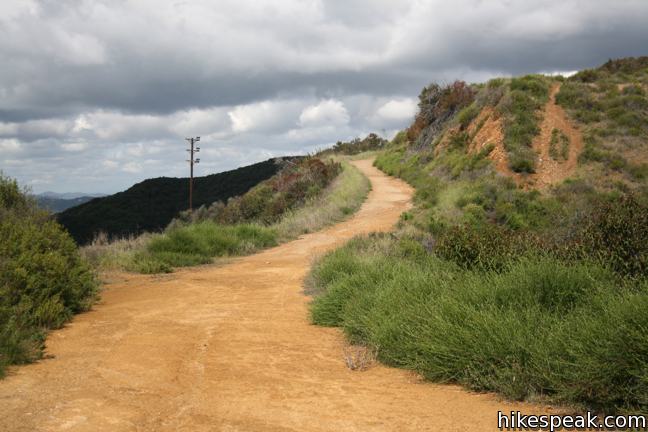
Below is a collection of trails in the Santa Monica Mountains. These hikes are listed from west to east, but the table may also be sorted alphabetically or by distance to help you pick your next hike. There is also a search feature, which can be used to quickly isolate the hike you are looking for. Each trail links to its own report complete with photos, maps, directions, and all the other information needed to locate and enjoy these treks. You can also view hikes around the Santa Monica Mountains on the Hike Finder Map.
Highlights of the Santa Monica Mountains
Hiking the Santa Monica Mountains
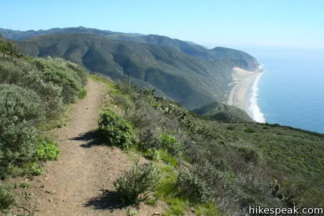
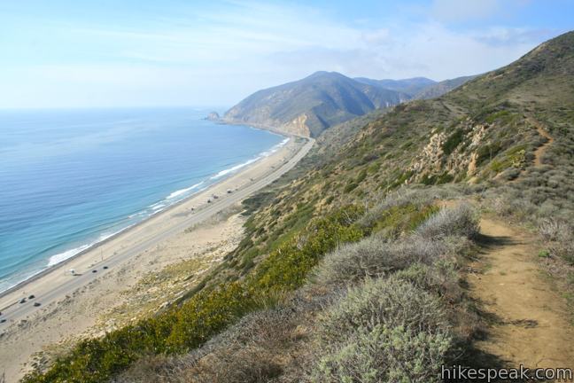
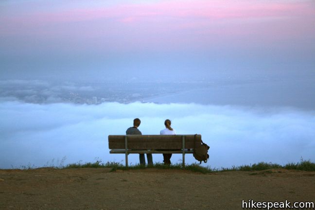
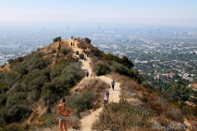
Santa Monica Mountains National Recreation Area spans 40 miles west to east across Los Angeles and Ventura Counties from Point Mugu to Griffith Park. A network of federal, state, and city parks protect over 150,000 acres of this coastal range, offering hundreds of miles of hiking trails.
Did you know? One in seventeen Americans live within a one hour drive of the Santa Monica Mountains. The national recreation area receives over 30 million visitors each year, but despite the beautiful scenery and easy accessibility, most trails never see a crowd.
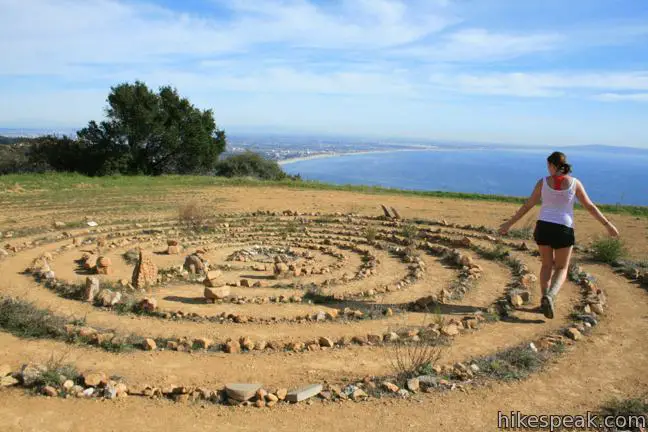
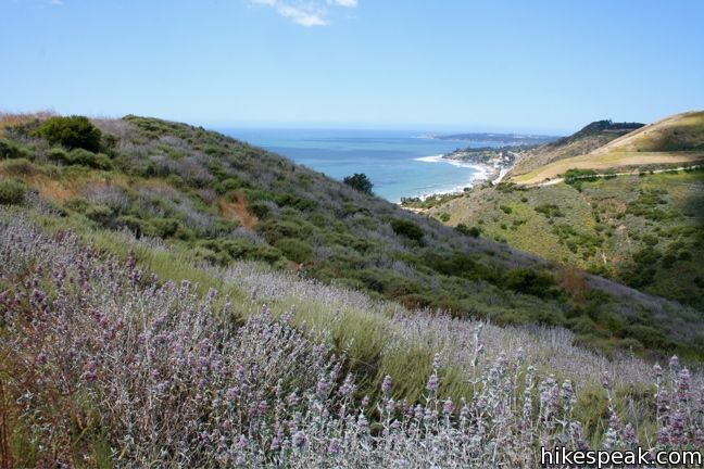
Most trails in the Santa Monica Mountains are free to access, including the hike to Sandstone Peak, the highest point in the range at 3,111 feet. Select a hike from the list below and begin enjoying the impressive canyons, vast ocean views, and beautiful spring wildflowers that await hikers in the Santa Monica Mountains.
Credit by : http://www.hikespeak.com/los-angeles/santa-monica-mountains/

No comments:
Post a Comment